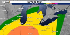


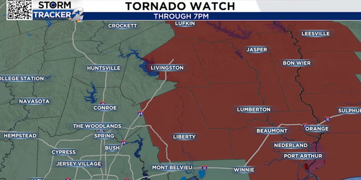
Miami Standard (Houston, TX) – Parts of the greater Houston area are experiencing severe weather conditions on Friday, with heavy storms, strong wind gusts, and a Tornado Watch in effect for Liberty and Polk Counties until 7 p.m.
Power Outages Impact Thousands
As of 4:50 p.m., CenterPoint Energy reported that 10,054 customers are without power due to the ongoing storms. Authorities are urging residents to stay prepared for potential additional outages as the weather system continues to move through the region.
Storm Activity Intensifies
For much of the day, storm activity has remained concentrated to the east and west of the Houston Metro area. However, by the afternoon, strong storms began developing on the east side of the city, with radar detecting heavier activity to the south and east.
Weather Alerts and Warnings
A Special Weather Statement was issued for portions of Coastal and Inland Harris County until 3:45 p.m., warning of wind gusts up to 40 mph. Another statement extended warnings to Inland Brazoria, Inland and Coastal Galveston, and additional parts of Harris County until 4:30 p.m. Areas affected include Pasadena, Deer Park, League City, La Porte, Dickinson, Friendswood, and Alvin.
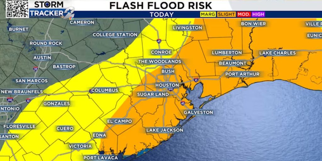
To the east, from Baytown and Clear Lake to Devers, another line of intense storms has brought heavy rain and frequent lightning. Fortunately, no severe warnings have been issued at this time.
Storm System and Forecast
The storm activity is being driven by an upper-atmosphere low-pressure system moving east from Austin, creating instability across southeastern Texas. As the system advances, thunderstorms are expected to persist throughout the evening.
Timeline of Expected Weather Conditions
- 4 – 5 p.m.: The heaviest rain and storms will continue across southeastern Texas, impacting the Houston Metro area during rush hour. Slick road conditions may cause hazardous travel.
- 6 – 7 p.m.: The system will push further east, with the most intense storms shifting toward far southeast Texas, including Beaumont, and into southwest Louisiana.
- Some of the stronger storms may bring hail, gusty winds, and the potential for isolated severe thunderstorms between 3 p.m. and 5 p.m.
Stay Prepared
Residents are advised to stay alert for further weather updates, secure outdoor items, and have a plan in case of power outages. The situation remains dynamic, and authorities recommend monitoring local forecasts for real-time developments.
For the latest updates on power outages, visit the CenterPoint Energy outage map. Stay safe and take necessary precautions as the storm system continues its course through the region.
Read More – Herkimer County Braces for Slippery Roads as Weather Advisory Takes Effect